
Royal Oak Neighbors by Source
Different records answer different block questions. Oakland Property Gateway and the GIS parcel service identify the parcels around an address. BS&A supplies an address, owner-name, or parcel-number lead for Royal Oak property records. The deed index can document a recorded transfer. Community groups add contacts and coverage areas, not a public household roster. Michigan voter information follows separate access rules. Together, these sources help distinguish a property fact from a claim about Royal Oak neighbors.
| Source | Block Facts | Access |
|---|---|---|
| Property Gateway / GIS | Adjacent parcel shapes, PINs, situs and mailing fields, owner and parcel context | Public map/search; paid map and report options |
| Royal Oak BS&A | Address, owner-name, and parcel leads; property-service links | Public search; detailed card can be gated |
| Oakland Super Index | Recorded parties, document dates, and ownership-document trail | Free index; document images are paid |
| QVF request | Properly scoped voter information allowed by law | Formal Secretary of State request; protected fields withheld |
| Neighborhood directory | Association areas, public contacts, and stated member services | City directory; individual rosters generally not located |
| Bresser and Polk | Historical listed occupants or subscribers at an address | Royal Oak Public Library collections |
A property owner is not automatically an occupant. Likewise, an old directory entry can be a subscriber, boarder, or business entry rather than every person in a household. Keep the source and its date beside each observation. That restraint matters when comparing Royal Oak neighbors across time.
Note: The public block layer is parcel-based, so it cannot establish a complete current household list.
Map Royal Oak Neighbors
Oakland Property Gateway is the documented official tool for the immediate-block method. Enter a known address or PIN, select the parcel, then pan and click adjoining parcel shapes. Property Gateway accepts an address or PIN and documents partial address, partial PIN, and wildcard searching. Its map click identifies nearby parcels. No official radius, buffer, or measure tool was confirmed in the captured material, so a claimed radius result would go beyond the evidence.
- Locate the known Royal Oak address or PIN in Property Gateway.
- Click the parcel, then pan to each adjoining shape and record its PIN and situs.
- Compare the nearby parcel’s owner, situs, mailing fields, and last-document fields in the GIS context.
- Use the owner or PIN in the deed index when a recorded ownership trail is needed.
- Keep the result parcel-specific; a visual neighbor can fall across a street, condo line, subdivision, or municipal boundary.
That flow is address → parcel/PIN → owner, situs, and mailing fields → deed index → dated historical evidence. It is intentionally narrower than a whole-street investigation. For a named street’s complete record chain, use the Royal Oak Street Directory.
Royal Oak Neighbor Parcel Fields
The county parcel schema is unusually helpful because it separates the situs from owner correspondence. Available fields include situs house number, street, unit, city, and ZIP5; parcel and subparcel identifiers; owner name; mailing care-of, attention, address, unit, city, state, and ZIP; values, exemptions, last-document details, building data, and geometry. Situs means the parcel’s physical location. A mailing address tells where tax or owner correspondence goes. Neither identifies every person who occupies the location.
A PIN is the county’s unique ten-digit property identifier, also called a parcel number, parcel ID, or Sidwell. The Oakland GIS parcel service exposes the field schema, while Royal Oak BS&A searches by address, name, or parcel number. Its sample parcel card shows a situs and owner, but detailed content can require purchase or a free owner claim. That is not confirmation of current occupancy.
- Parcel
- A mapped unit of land used for assessment and property records.
- Situs address
- The physical location assigned to the parcel.
- Mailing address
- The address used for owner or tax correspondence, which may be elsewhere.
- PIN
- The parcel identifier used to connect map, assessment, and deed records.
Royal Oak Neighbor Voter Limits
Michigan’s Qualified Voter File is not a public block directory. The individual voter tool is for a voter’s own registration, polling, and ballot information. A properly scoped QVF request can use county, jurisdiction, district, ward, or precinct geography. Its permitted output may include name, residential address, mailing address when available, year of birth, registration date, status, voter ID, and requested history, subject to the law and the request scope.
Important fields remain withheld, including driver-license and state-ID numbers, month and day of birth, phone, email, digitized signature, and declined-registration information. Protected voters may use a substitute address. MCL 168.509p describes a statewide street-address index and precinct access, but that does not authorize republishing a street roster. Royal Oak’s fee schedule notes voter information in Excel at $20 per file; confirm the current fee and process with the city or state before ordering.
Royal Oak Neighbor Associations
The City of Royal Oak neighborhood directory supplies the local community layer. It gives contacts and area information for many neighborhood, block, condominium, and improvement groups. The directory does not establish that any named person belongs to one of them. Arlington Park is the one explicit exception on directory practice: its official listing says members receive a resident directory, along with two or three newsletters, holiday-luminary and social activities, library memorial books, median beautification, and new-owner gift certificates.
| Royal Oak group types and names | What the official directory supports |
|---|---|
| Arlington Park HOA; Briarwood HOA; Southpointe HOA; Starr-Jaycee HOA; Westwood HOA | Public association contact or area lead; Arlington Park alone expressly states a member resident directory. |
| Grant Park Townlofts Condo; Main Street Square Condo; Stonebrooke Court Condo; Terraces HOA | Community and contact layer, not an individual roster. |
| Franklin Park, Middle Ottawa, Normandy Oaks, and Ottawa Block Clubs | Block-community lead, with individual directory practices not located. |
| Lincoln/Lafayette, Royal Oak Beverly Hills, Vinsetta East, Vinsetta Park, and Woodwardside associations | Neighborhood contact or coverage lead, not proof of membership. |
The official Royal Oak association directory is the source for the image below.
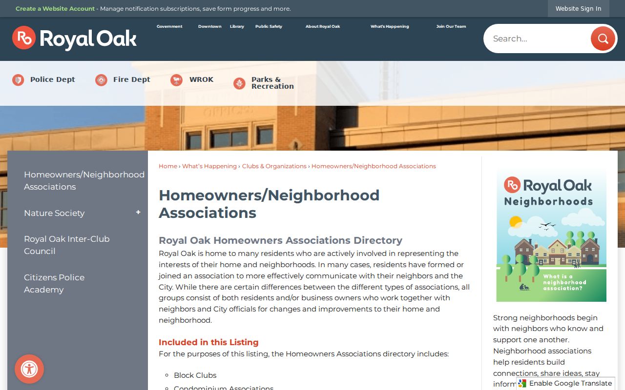
The listing is useful for finding a public community contact after the block is identified. It should not be turned into a directory of private member details.
Royal Oak Neighbors Beyond HOAs
Community records have different scopes. The Inter-Club Council is a civic and service umbrella open to civic and service organizations. It generally meets on the second Thursday, except July and August, and member organizations may have two representatives. Its page does not publish a public individual roster. The Royal Oak Historical Society is another community-history route, but its public material does not provide a member list.
The Royal Oak Chamber of Commerce, established in 1921, represents nearly 500 businesses and has a searchable member directory with keyword or category searching, address, phone, and website information. It can help identify a voluntary business affiliation near a block, but it is not household evidence and does not identify Royal Oak neighbors. No official public congregation or block-watch roster was located in the research.
The Chamber’s public member directory provides the source for this image.
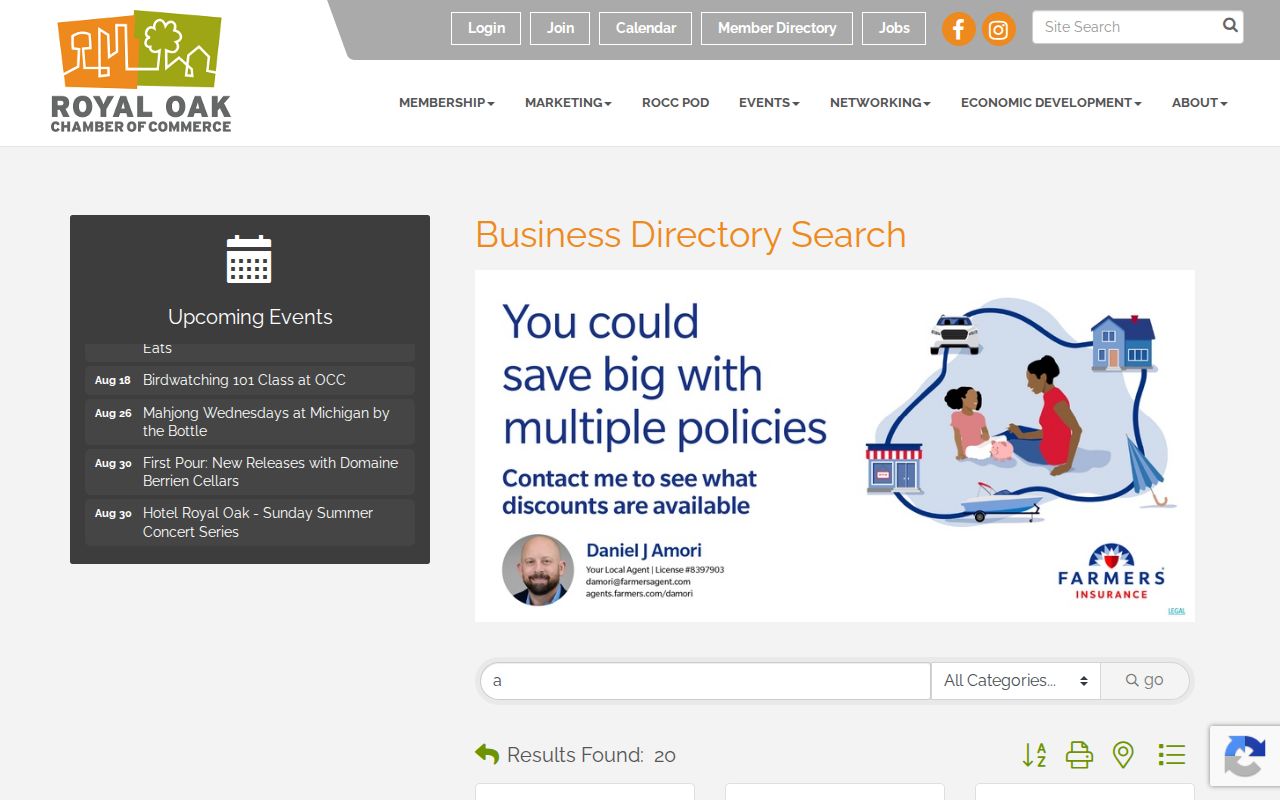
The directory is a voluntary business resource. It belongs beside, not in place of, official parcel records when examining a particular block.
Royal Oak Neighbors in History
For an older block, the Royal Oak Public Library Local History Room supplies the dated household layer that parcel records cannot. Its Bresser South Oakland cross-index runs cover 1952 to 1955 and 1964 to 2013. Polk directories cover documented Royal Oak years from 1924 through 1960, and the library also holds selected telephone directories, yearbooks, maps, tax rolls, voter registrations, property abstracts, and local newspapers. Start with a known address and year, then read the relevant address or alphabetical entry exactly as printed.
A historical listing can show a person, household, or telephone subscriber associated with an address at that date. It is not proof of ownership, a complete household, or a present connection. Pair it with the parcel’s legal description and recorded deed trail when an old street label no longer matches a current map. The library’s 1927, 1955, and 1964 street maps and its annexation map are useful checks when a block’s geography has changed.
Note: Dated directory evidence can place a name at an address, but it must remain separate from current parcel facts.
Royal Oak Neighbor Safety Map
Royal Oak Police Public Crime Search is a map for reported activity near an address. It lets a user select crime types and date ranges and generate reports. The tool can add location and time context to a block question, but it is not a person search and cannot establish that a named neighbor committed an offense. Court and police records also have public and nonpublic limits, so an absence or appearance in one result is not a conclusion about someone’s life.
The Royal Oak Police map is shown below in its public search state.
Use the map for its stated incident-pattern purpose, then rely on the reporting agency for a particular public record. Do not use a location map to target or single out people.
Royal Oak Neighbor Privacy
Commercial neighbor-search categories combine property, marketing, and public fragments, which can be stale, duplicated, or wrong. Official parcel and city sources are better for a specific property fact, but even they have limits. Renters, other household members, utility customers, delivery data, protected residents, and unlisted phone subscribers sit outside the public block layer. A cluster of parcel pins is not a people list.
| Official record approach | Commercial neighbor-search category |
|---|---|
| Parcel-specific, dated, and tied to a government custodian; shows only the fields that record holds. | Combines different sources and may be stale or duplicated; it cannot prove every result is a current neighbor. |
Michigan Safe at Home can issue a substitute address to eligible participants. Driver-record address information is restricted by the federal Driver’s Privacy Protection Act and Michigan law. Use a lawful personal purpose, protect sensitive details, and leave protected people out of block research. Michigan stalking law treats a course of harassment or unconsented contact seriously.