
Royal Oak ZIP Code Coverage
Official Royal Oak materials provide address examples rather than a complete neighborhood-by-neighborhood postal map. The documented city labels are 48067, 48068, and 48073. The first and third appear in city and assessment material, while 48068 identifies the Royal Oak Post Office. Census geography adds a different layer: its ZCTA profiles identify 48017, 48067, and 48070 as fully or partly within Royal Oak geography. A ZCTA is a Census approximation built from ZIP patterns, not a USPS delivery boundary.
| ZIP | Areas | Post Office | Notes |
|---|---|---|---|
| 48067 | Documented on Royal Oak city and zoning/address materials | Royal Oak mailing label in city examples | Exact boundary and neighborhood list were not located. |
| 48068 | Royal Oak Post Office label | Royal Oak Post Office, 200 W 2nd Street | Exact delivery boundary was not located. |
| 48073 | Documented on city and BS&A address examples | Royal Oak mailing label in official examples | Exact boundary and neighborhood list were not located. |
| 48017 | Census ZCTA partly or fully within city geography | Not located | Statistical area, not asserted as a Royal Oak delivery ZIP. |
| 48070 | Census ZCTA partly or fully within city geography | Not located | Statistical area, not asserted as a Royal Oak delivery ZIP. |
That distinction keeps the Royal Oak ZIP code directory honest. No official postal result in the research verified another current Royal Oak delivery ZIP, and no complete city-line mismatch list was found. Verify an individual address instead of filling those gaps with a made-up neighborhood table.
Note: Postal examples locate mailing labels, while Census and parcel systems describe different geographic purposes.
Royal Oak ZCTA Geography
Census data for Royal Oak is useful for explaining why a map can show 48017, 48067, or 48070 touching city geography without establishing a postal route. City, ZIP, ZCTA, parcel, school, and county-district boundaries are separate systems. Oakland County’s district materials also place portions of Royal Oak in more than one commissioner district, another reminder that one map label should not be carried into another record system.
The practical result is simple. A city address may need a postal check even if its map pin sits within Royal Oak. Conversely, a ZCTA that overlaps the city is not evidence that every address in that statistical shape uses a Royal Oak mailing label. The research did not locate a verified complete list of addresses carrying a Royal Oak label outside the city, or city addresses carrying another label.
Check Royal Oak ZIP Codes
The USPS ZIP Lookup is the primary check for an address. It offers By Address, By City & State, and Cities by ZIP. In the address mode, company is optional and street, city, and state are required. The result standardizes a mailing address and ZIP, but it does not confirm that a person or organization is present at that address. Use it to correct the postal form before looking for records.
| USPS mode | Fields or starting point | Useful result |
|---|---|---|
| By Address | Street, city, and state; company optional | Standardized mailing address and ZIP |
| By City & State | City and state | Postal ZIP options for that city entry |
| Cities by ZIP | ZIP | Postal city labels associated with the ZIP |
The Royal Oak Post Office is at 200 W 2nd Street, Royal Oak MI 48068-9998. Its documented retail hours are Monday through Friday, 8 to 7, and Saturday, 8:30 to 5. The listed local number is 248-546-7112, with 800-275-8777 for general USPS support. Those details describe the post office, not the delivery edges of 48068.
Find Residents by Royal Oak ZIP Code
A Royal Oak ZIP code search narrows an address question; it does not produce a verified citywide people list. Start with the postal check, then work at address or parcel level. BS&A has Address, Name, and Parcel Number searches rather than a documented ZIP-wide filter. Oakland Property Gateway searches by address or PIN. The GIS parcel schema has situs and mailing ZIP fields, but the research did not locate a public query or viewer-filter syntax for either field.
- Run the full address through USPS and retain the standardized ZIP.
- Search the address in Royal Oak BS&A to obtain the parcel lead, displayed situs, and owner record where available.
- Use Oakland Property Gateway or the county parcel service to inspect that specific parcel.
- Compare the parcel’s situs ZIP5 with its separate owner mailing ZIP, then keep the result at address level.
Michigan’s QVF request process is also geography-scoped by county, jurisdiction, district, ward, or precinct, not by a public ZIP-wide search. Once a ZIP leads to a known address, the detailed address chain belongs in the Royal Oak Street Directory.
Note: A matching ZIP narrows postal geography but does not establish household membership or current residence.
Royal Oak Parcel ZIP Fields
The Oakland GIS parcel service separates the situs, the physical parcel location, from the owner mailing address used for tax correspondence. Its documented fields include situs house number, street, unit, city, ZIP5, parcel identifiers, owner name, mailing care-of and attention lines, mailing city, state, and ZIP, plus document, value, building, and geometry fields. A mailing ZIP can point to a tax agent, a trust, a lender, or a prior address. It is not a finding that the owner lives there.
Property Gateway accepts a PIN or address, including partial entries and documented wildcard forms. A PIN is the county’s unique ten-digit parcel identifier, also called a parcel number, parcel ID, or Sidwell. The Royal Oak BS&A sample shows a local parcel display format, so retain the identifier exactly as a portal provides it. The service offers map and report products, while classifications and update timing can vary by municipality.
For a ZIP-level question, these fields are a way to test one address at a time. A situs ZIP5 describes the physical parcel, while the separate mailing ZIP belongs to correspondence. Neither field has a documented public filter syntax in the GIS viewer. That limitation is why an address or PIN search is the reliable route. A reader should not infer a ZIP-wide owner count, a complete delivery-area list, or an occupancy list from fields the public interface does not expose as a verified filter.
- ZIP
- A postal delivery label for an address or area, not a municipal boundary.
- ZIP+4
- An added four-digit segment that narrows delivery sorting beyond the five-digit ZIP.
- PO-box ZIP
- A ZIP used for post-office boxes; the research did not verify one for Royal Oak.
- Carrier route
- A mail-delivery sequence used by USPS; it is not a public resident roster.
Royal Oak ZIP Code Limits
Postal geography should not be used as a shortcut for city residency. Owner mailing addresses can be outside Royal Oak, and the public parcel layer does not prove who sleeps at a situs address. Renters, other household members, protected voters, and people with unlisted phone service are not captured by a ZIP label. The Michigan Address Confidentiality Program can provide a substitute address to eligible participants, so protected residents may not appear at a real address in public-facing records.
Michigan driver-record address information is restricted by the federal Driver’s Privacy Protection Act and Michigan law. The official voter-file process also withholds driver-license and state-ID information, month and day of birth, phone, email, and digitized signatures. Keep ZIP research to a lawful personal purpose and do not use fragments from different systems to watch, contact, or harass another person.
Royal Oak Maps and ZIP Codes
The Royal Oak zoning-map collection shows the city street grid through north and south map sheets. It helps place a street or parcel within municipal land-use geography, but it does not draw USPS delivery boundaries or identify residents. The city map gallery also offers street-location and historic-property maps, which are useful when a present address needs geographic context.
The Royal Oak zoning maps provide the source for the image below.
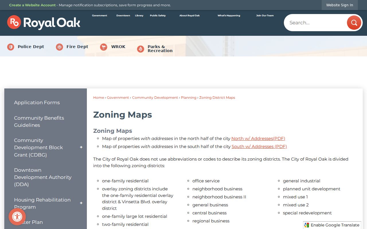
The map is a useful street and municipal-boundary reference after USPS has supplied the postal form. It should not be read as a ZIP map, a Census ZCTA map, or a household list.
Oakland Mapping Services advertises current land use, municipal zoning and master-plan links, DDAs, aerials, FEMA DFIRM, and elevation products. Those layers can explain why a parcel lies beside a road, district, or municipal edge. They do not establish a postal boundary, and the exact public viewer layer selection was not located in the captured research.
Royal Oak ZIP History Gap
No official source captured for this research confirms a complete Royal Oak ZIP split, realignment chronology, or full delivery-boundary inventory. That is a meaningful limit, especially when comparing older addresses. Historical directories are normally organized by name or street rather than a modern ZIP, and older postal labels can differ. For a changed address, compare the parcel’s legal description with historic maps, block and lot references, nearby street names, and the dated record itself.
Royal Oak’s Local History finding aid preserves an annexation map and street maps from 1927, 1955, and 1964. Those maps can explain an address change without inventing a citywide renumbering event. The documented postal examples, Census ZCTA overlap, and map record make a stronger Royal Oak ZIP code directory than a false claim that every boundary is known.